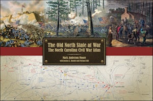
The Old North State at War:
The North Carolina Civil War Atlas
by Mark A. Moore, Jessica A. Bandel, and Michael Hill
The concise narrative leads the reader through nearly every aspect of the conflict in the Old North State. In addition to the battles and leaders you would expect, there are special segments on various subjects such as manufacturing, guerrillas and bushwhackers, emancipation, North Carolina's Unionist regiments, naval matters, and home-grown opposition to the Confederacy. To accompany the different segments, the authors have prepared a host of tables, with a lot of information dug from census data, muster rolls, and elsewhere. These include, for instance, a detailed breakdown of the state's slave population, county-by-county secession votes, the state's textile mills, election results for gubernatorial and congressional contests, Union recruiting numbers, blockading actions, artificial limb claims by county, and North Carolina war deaths.
 |
| The Confederate Attack on New Bern, Feb. 1864 (N.C. Dept. of Cultural Resources) |
As for the Confederate campaign of 1864, the excellent maps in the Old North State at War include an overview of the campaign, Pickett's February attack on New Bern, James Martin's capture of the Newport Barracks, the battle of Plymouth, and the ironclad Albemarle's operations. Looking over these maps, it is clear that the authors Mark Moore, Jessica Bandel, and Michael Hill have done a lot of diligent research here. They've pinpointed obscure events and locations, and clearly presented the campaign through the generous, tabloid-size maps.
